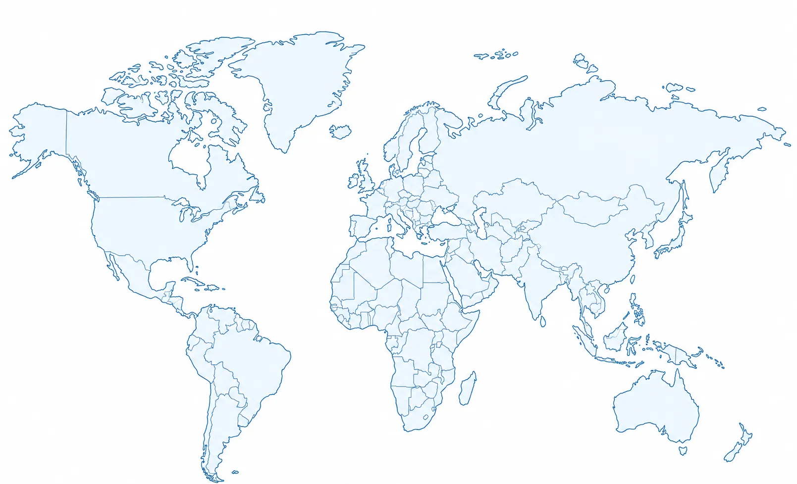
World map of Life Expeditions journeys

LIFE EXPEDITIONS

Expeditions

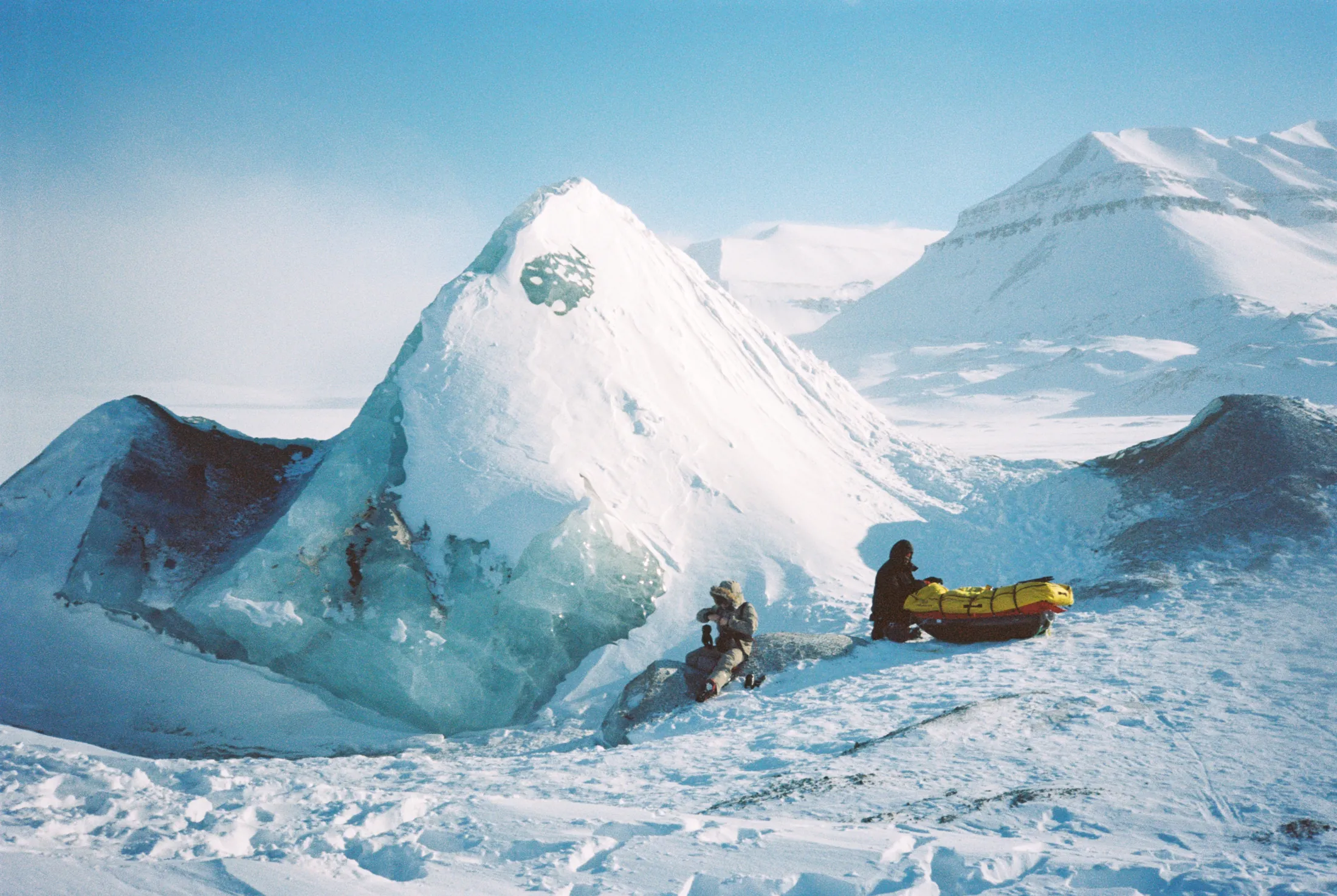
Ice formations in Svalbard

Svalbard Axis 2026

Svalbard Axis is a 24-day fully self-supported expedition on the island of Spitsbergen, in the Svalbard archipelago. The initial goal was to reach Verlegenhuken, the northern tip of the island.

After Jean-Simon Gérard and Fabrice Yencko left the expedition, the remaining team, Merlin Cerise, Nicolas Sanchez and Gaël Loicq, adapted the route and chose to head for Newtontoppen, the highest point in Svalbard.

That decision reflects the reality of polar expeditions: the unforeseen, constant adaptation and the need to rethink objectives when faced with conditions on the ground.

Difficulties

Route changes mid-expedition, polar bear risk, cold, isolation and the physical load of self-supported travel across glaciers and sea ice.
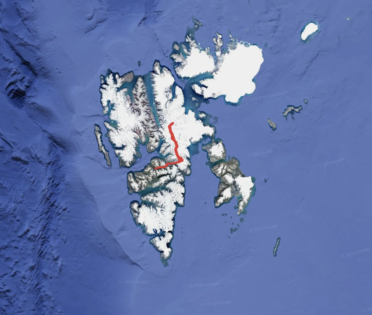
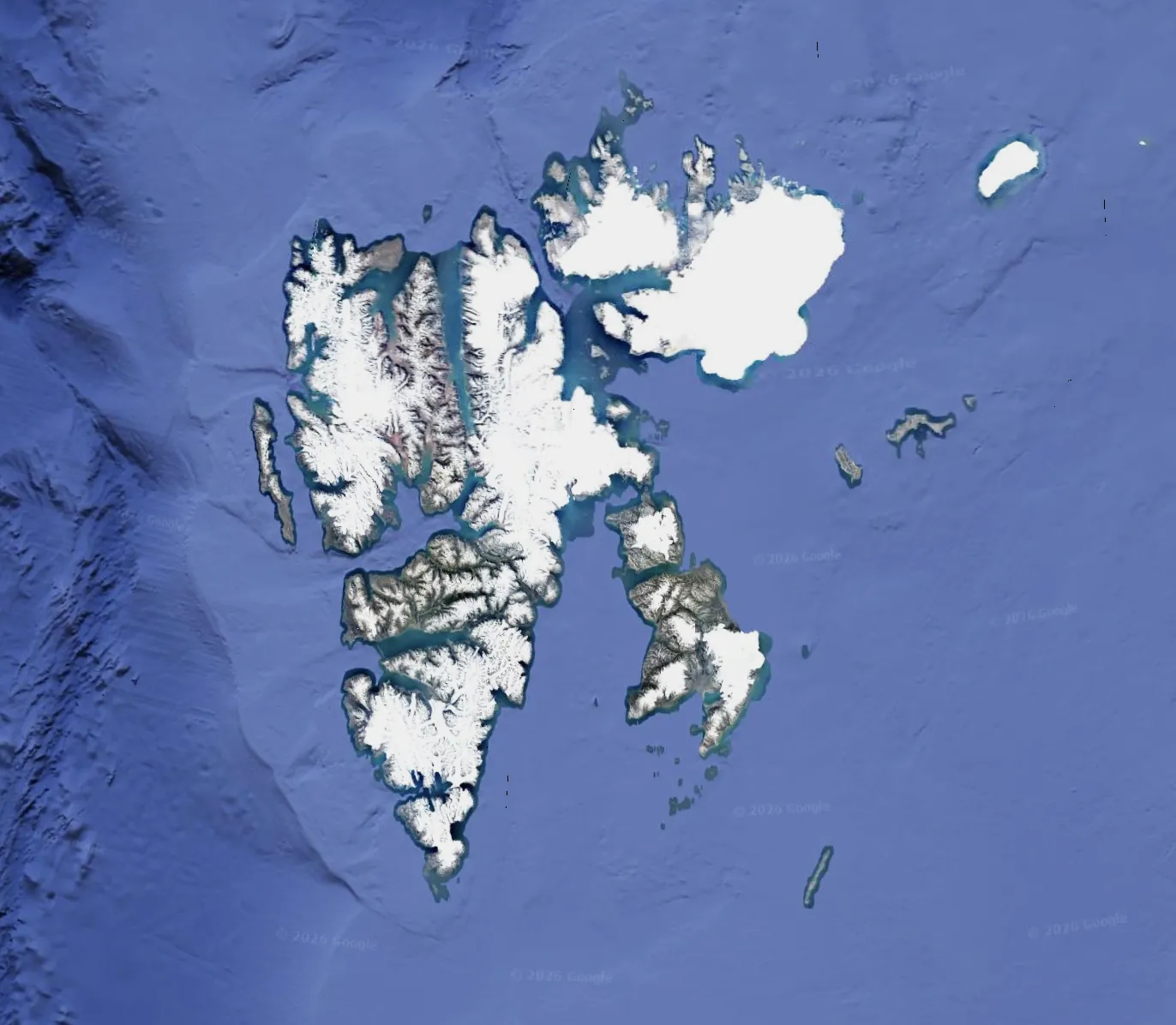
Map of the Svalbard Axis route
24 DAYS
300 KILOMETERS
-30°C MIN TEMP
+5°C MAX TEMP

Goal of the expedition

Reach Verlegenhuken, the northern tip of Spitsbergen, then, when plans changed, adapt the route toward Newtontoppen, the highest point in Svalbard.
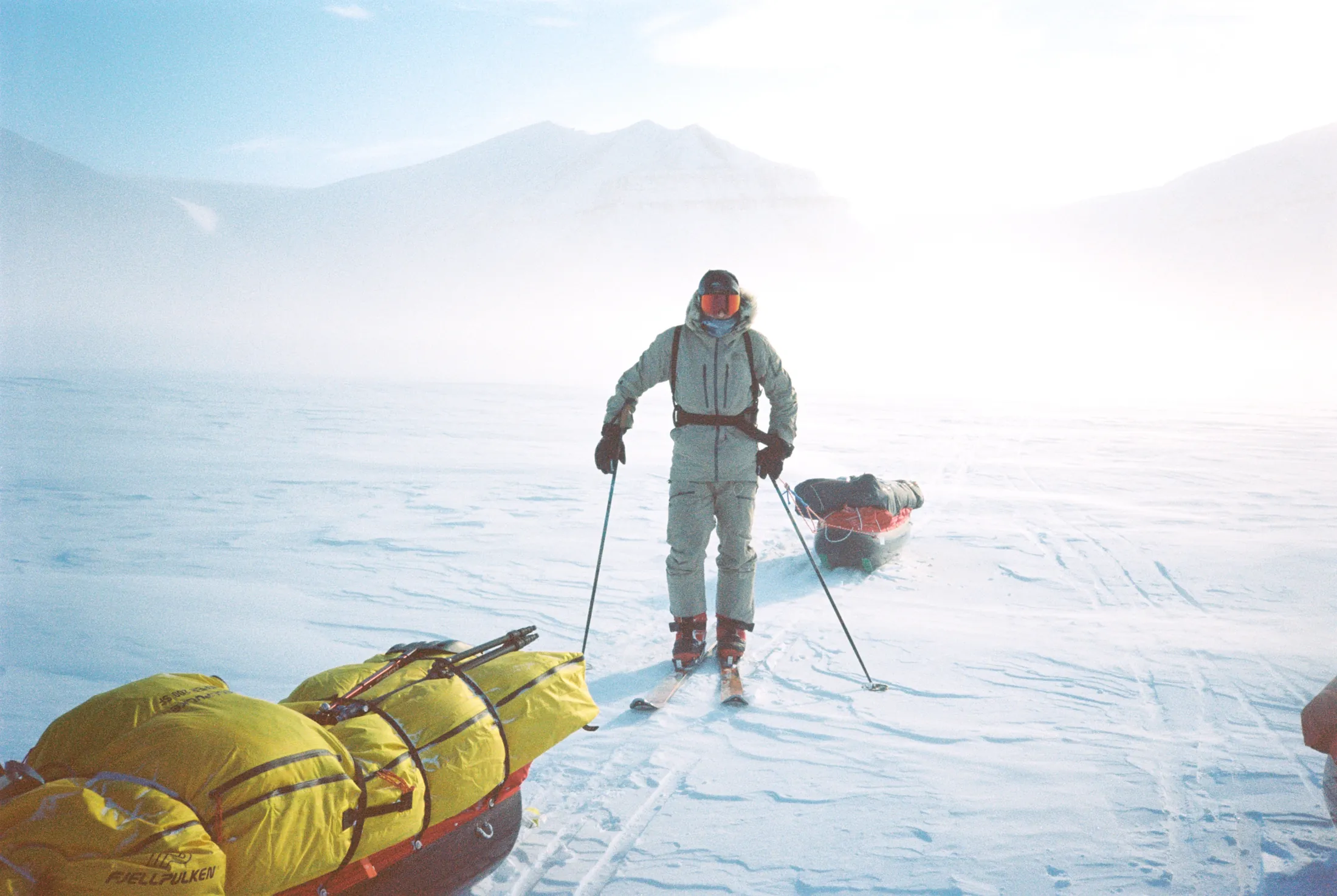
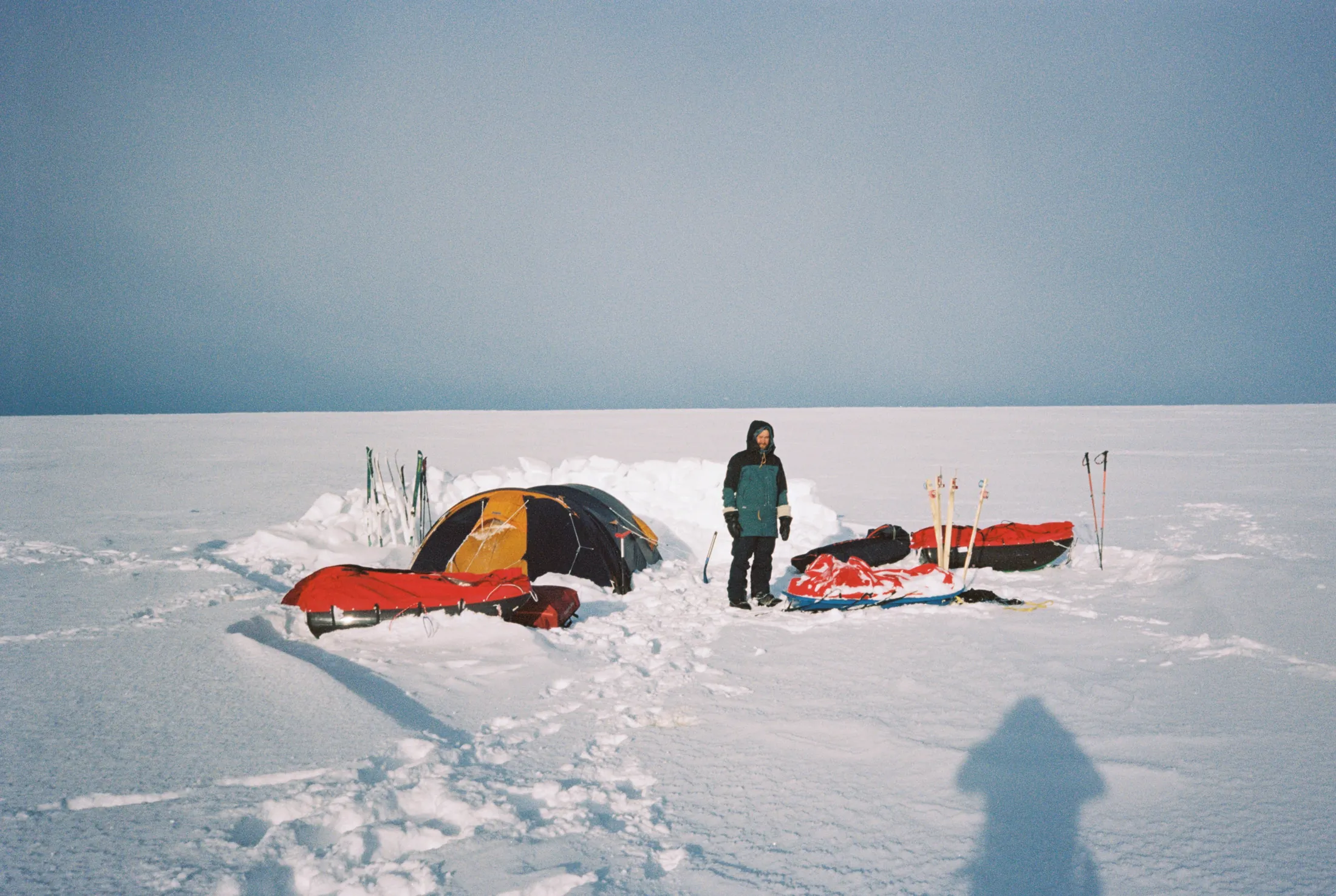
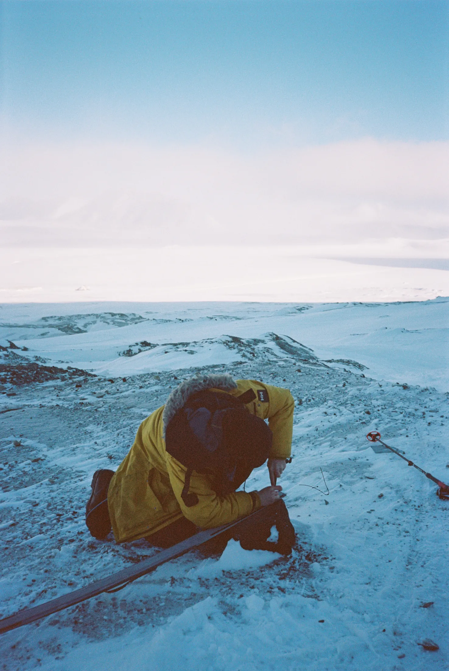
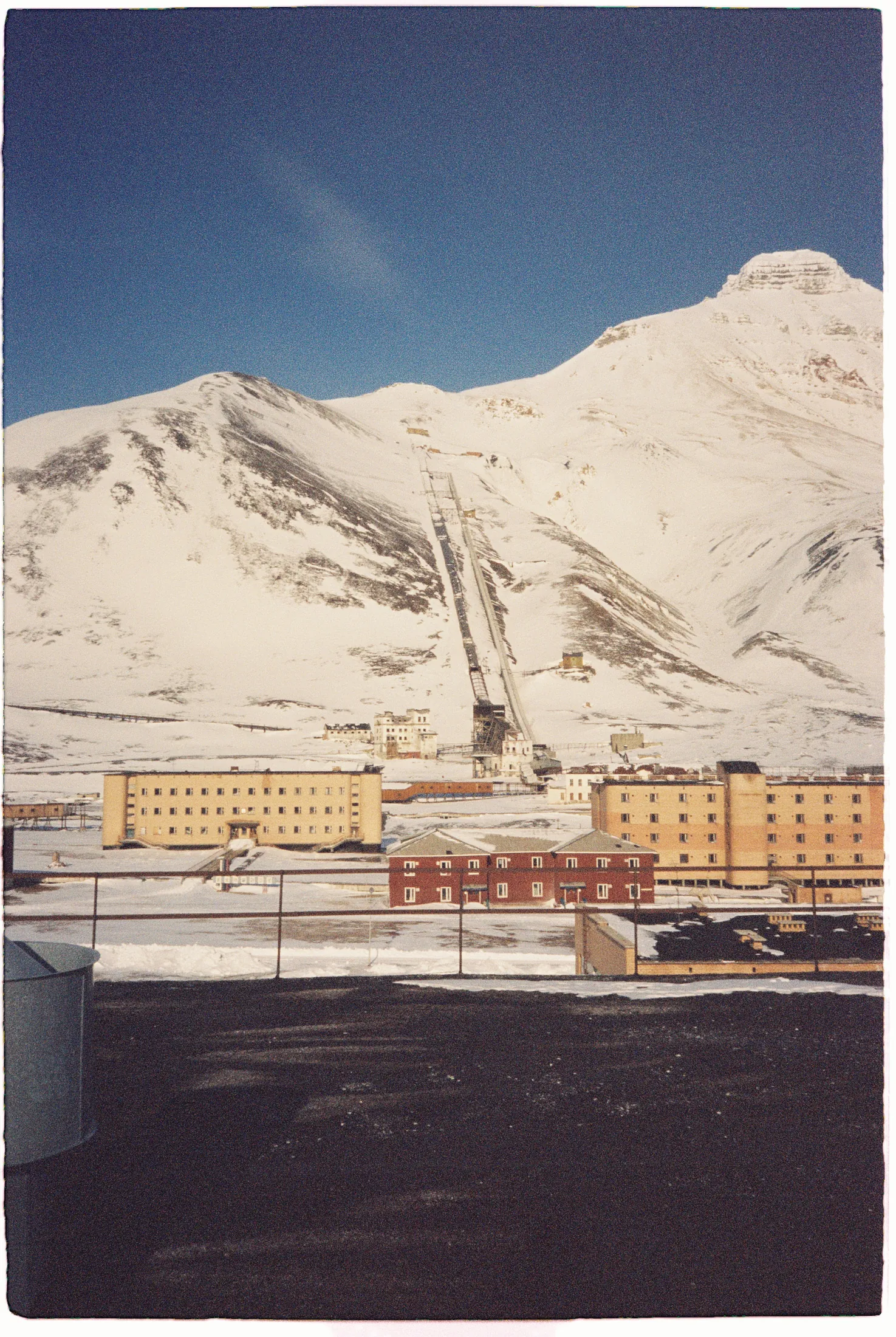
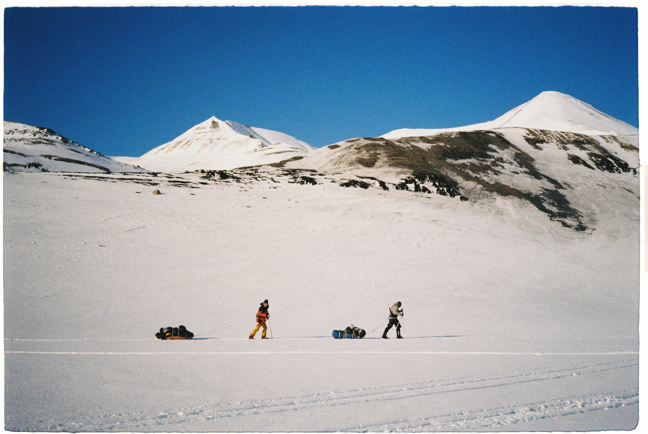
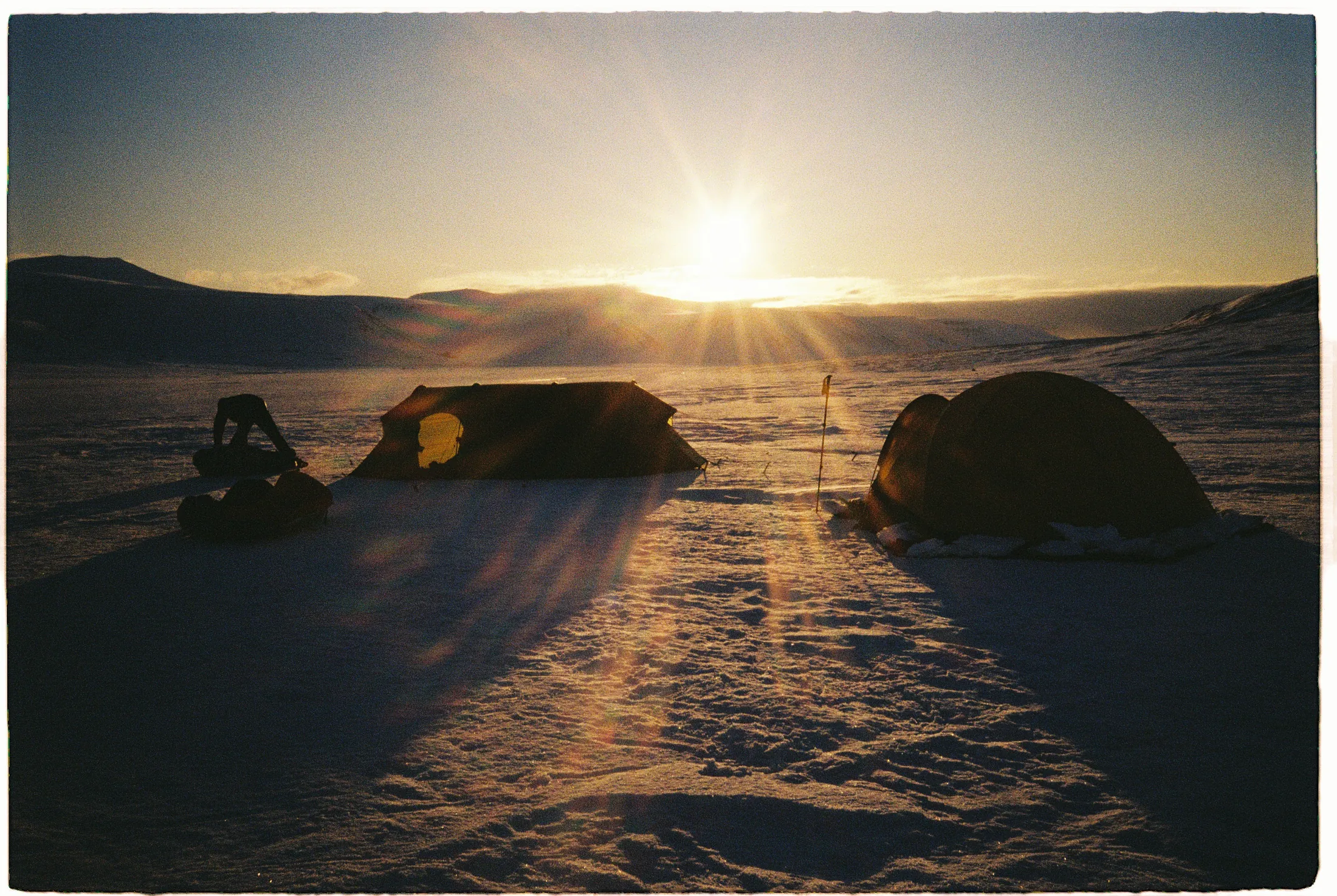
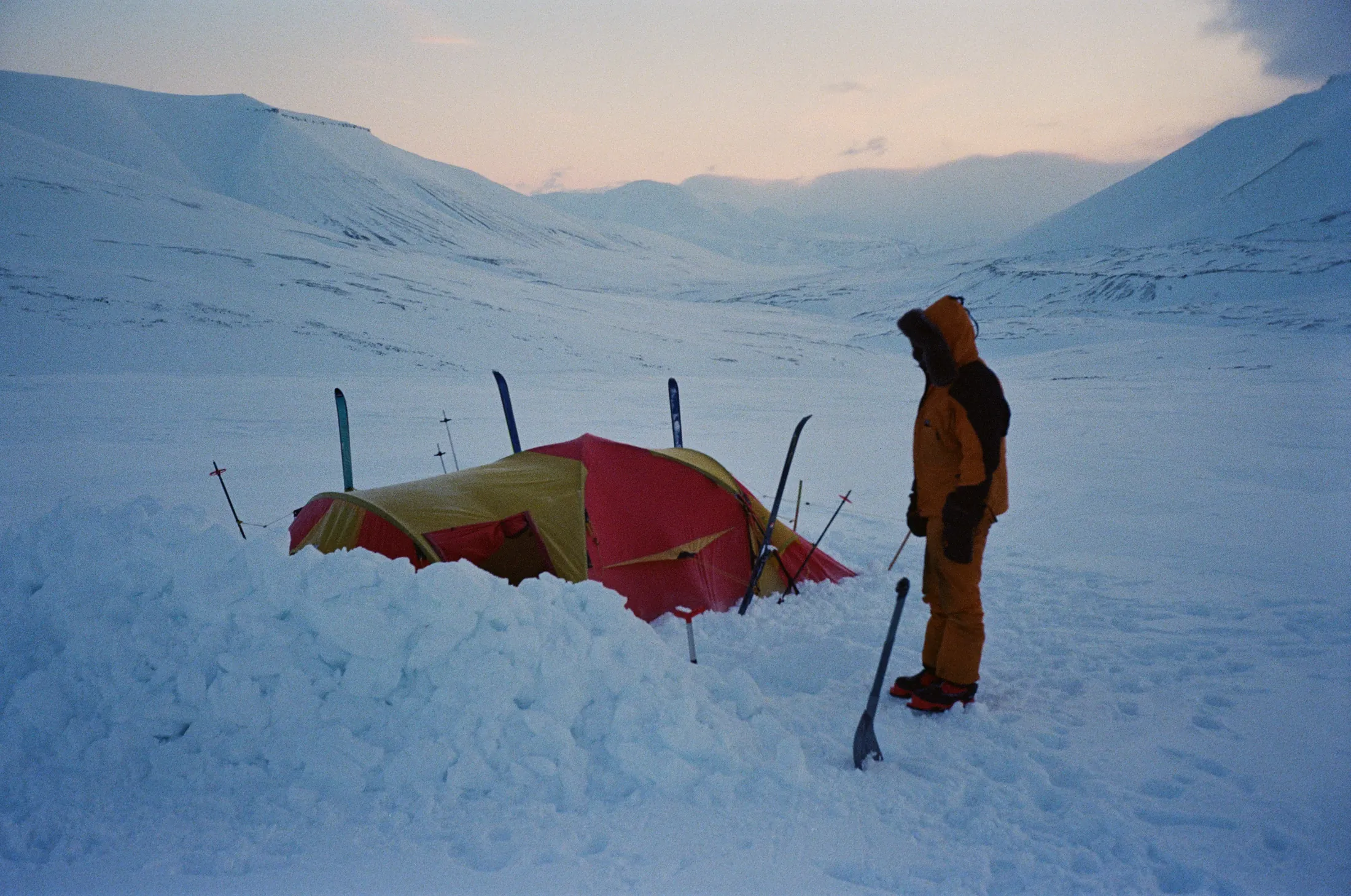
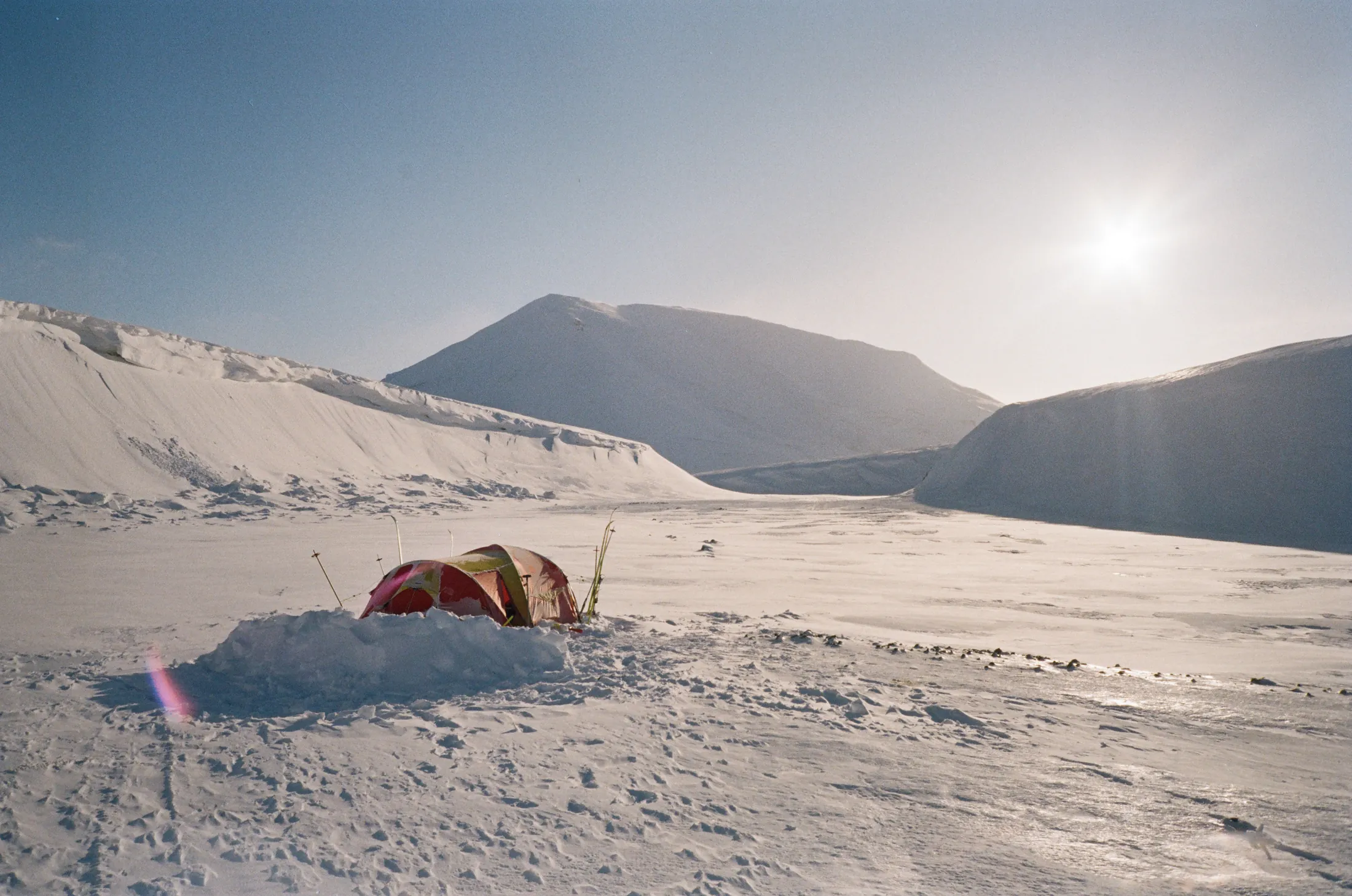
Ice formations in Svalbard Team man-hauling across Svalbard Campsite on Svalbard Axis Working with expedition gear in the field

Coming soon

Svalbard Axis

Expedition Report
Skiing across winter terrain

Winter Crossing Of Iceland 2026

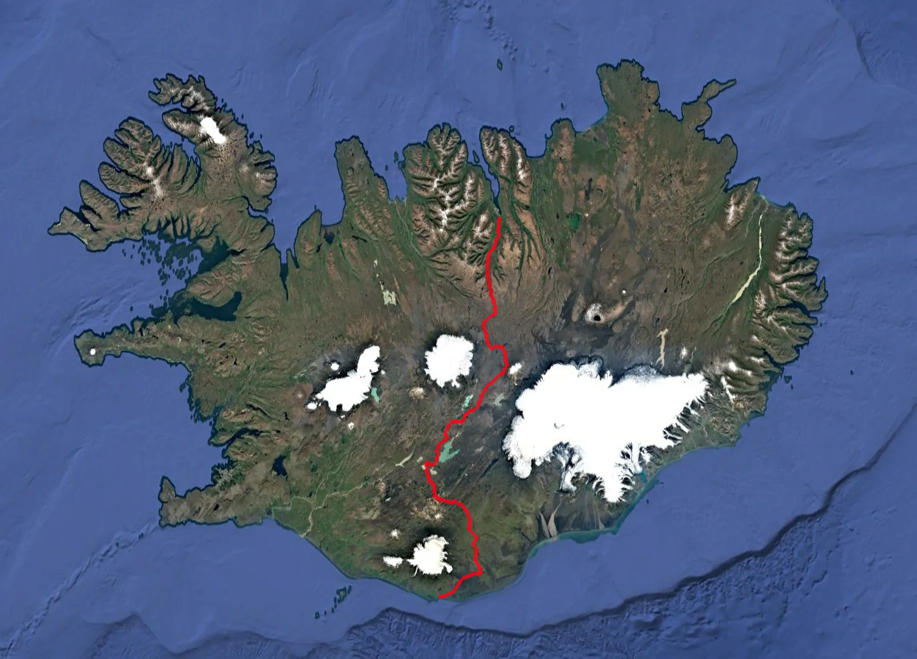
In March 2026, Harold completed a solo winter crossing of Iceland, linking one coast to the other across the country’s highlands. Alone, with a sled of nearly 60 kg, he covered about 400 kilometers, from Akureyri to the ocean in the south.

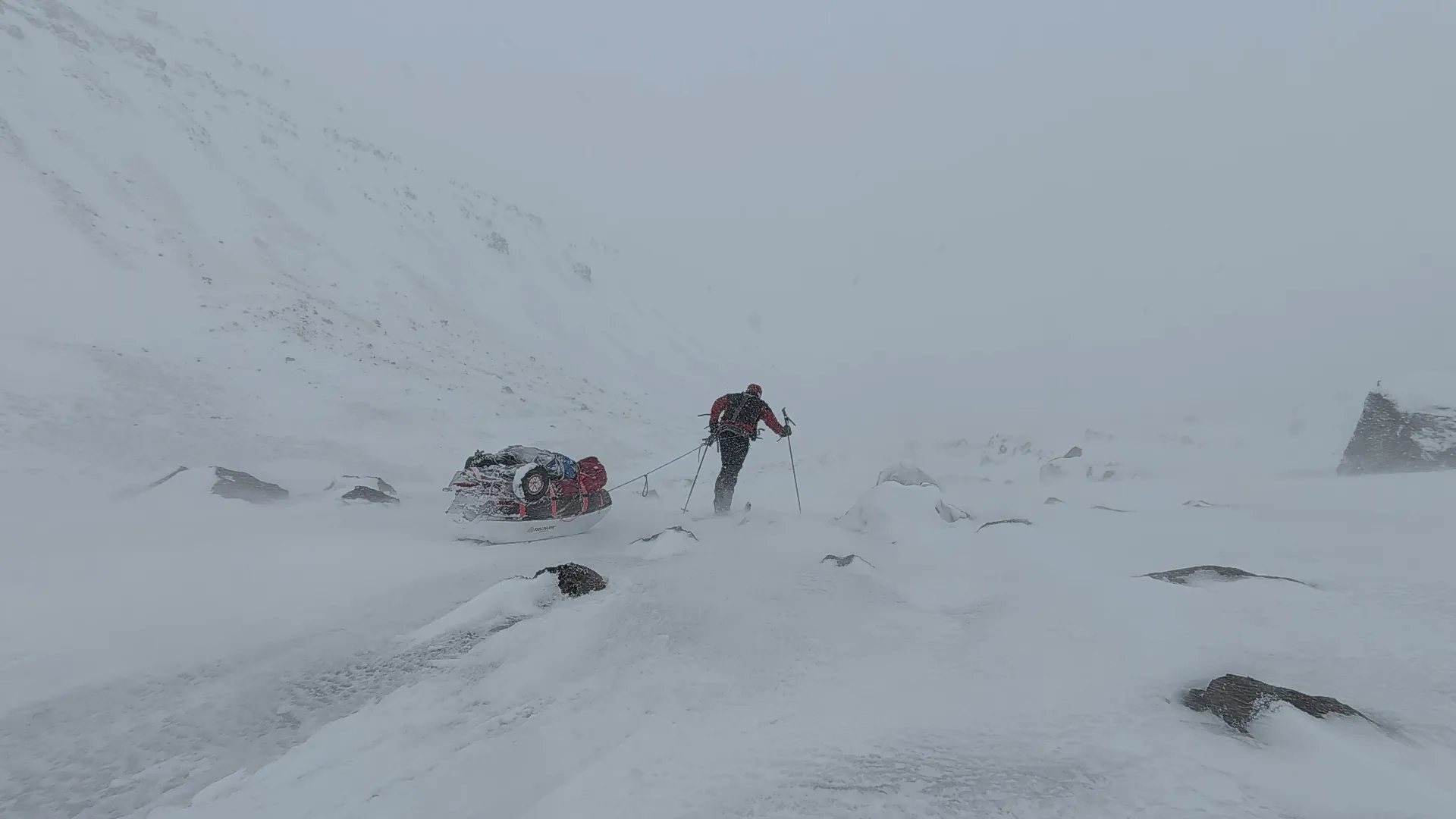
For nearly twenty days, he moved through a landscape as beautiful as it was merciless, between volcanoes, glaciers and vast desert expanses. In Iceland, storms are part of the journey. Some were so violent that they forced him to stay trapped in his tent for several days, waiting for the winds to let him move on.

Difficulties

Violent storms, days trapped in the tent, extreme winds, solitude, damp cold and crossings of semi-frozen rivers.

Map of the Iceland winter crossing
20 DAYS
400 KILOMETERS
-20°C MIN TEMP
0°C MAX TEMP

Goal of the expedition

Confirm that solo expeditions were far more than a sporting challenge: they had become a way of living and exploring the world.

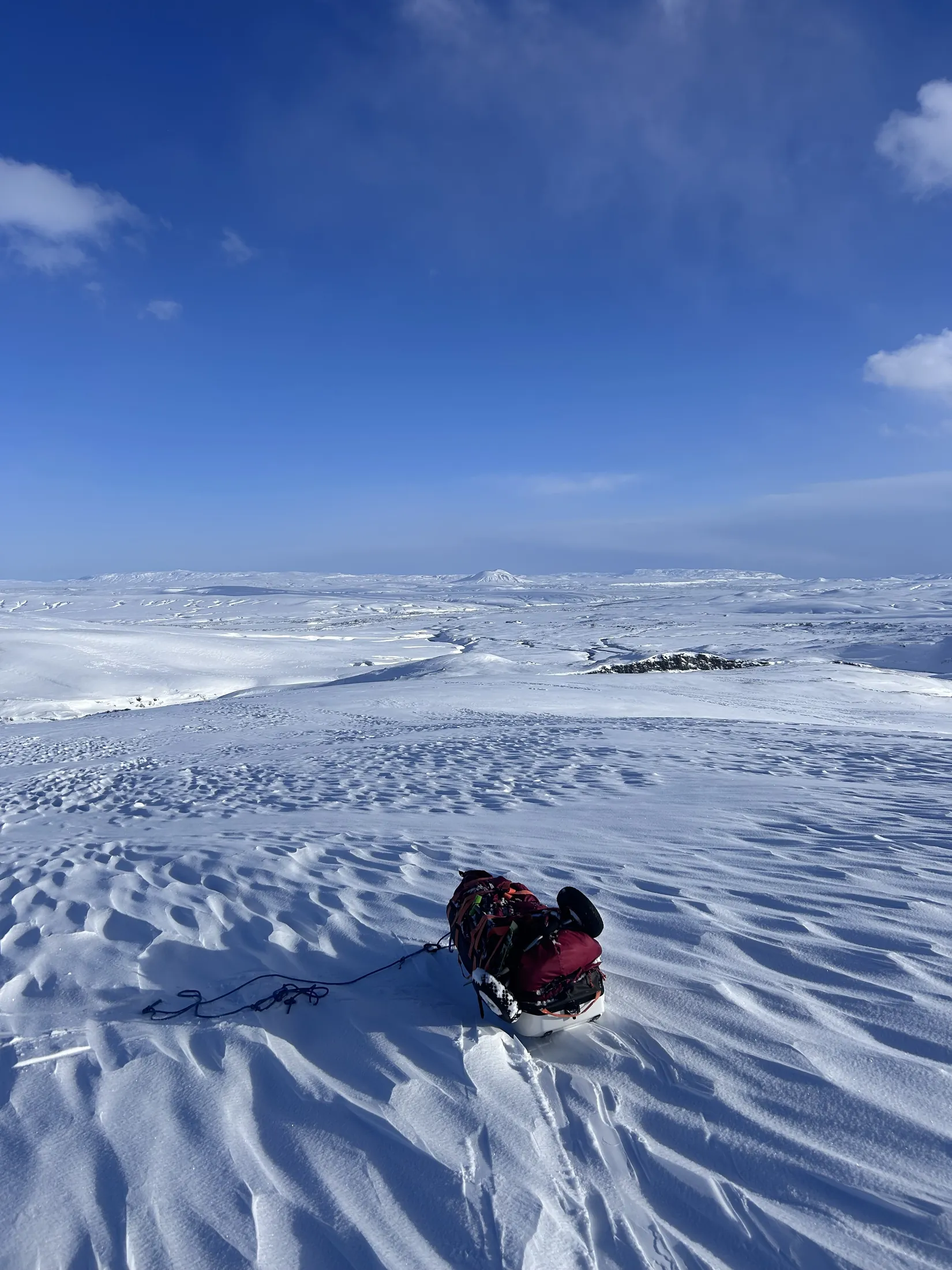
Skiing during the Iceland winter crossing Walking through a storm on the Iceland crossing Icelandic highlands in winter Reaching the ocean after the Iceland crossing

Coming soon

Iceland Crossing

Expedition Report

Sponsored by

Sea ice en route to Pyramiden

Pyramiden 2025

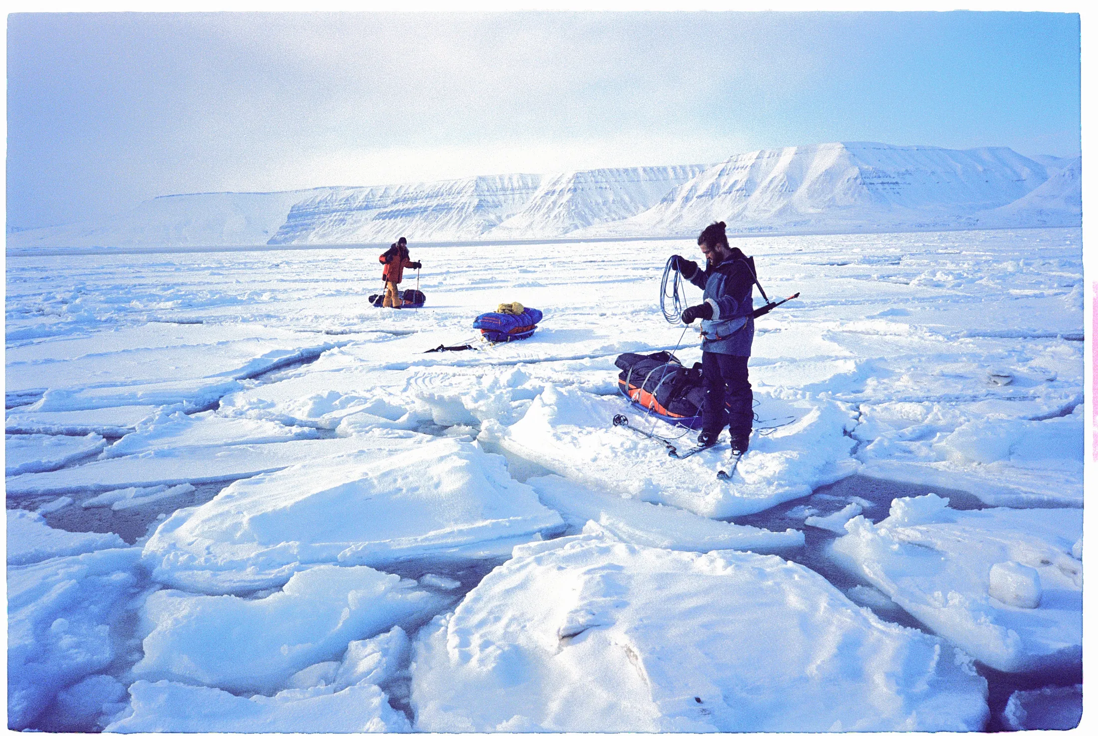
In April 2025, Merlin, Nicolas and Gaël skied from Longyearbyen to the abandoned Soviet town of Pyramiden, in Svalbard. They crossed remote arctic wilderness and encountered polar bears and arctic foxes. The expedition served as the foundation for a commercial campaign produced for Houdini, led creatively by Olf. Alongside the expedition, we also developed an educational workbook designed for schools, combining exploration, storytelling and field experience into a project aimed at inspiring younger generations.

Difficulties

Remote Arctic terrain, deep cold, travel on sea ice, polar bear encounters, isolation and the logistics of a creative shoot.

Map of the Pyramiden route in Svalbard
15 DAYS
200 KILOMETERS
-32°C MIN TEMP
-8°C MAX TEMP

Goal of the expedition

The goal was to combine self-supported Arctic travel with a creative campaign, educational material and visual storytelling from one of Svalbard’s most iconic abandoned settlements.

Skiing across winter terrain

Greenland Crossing 2024

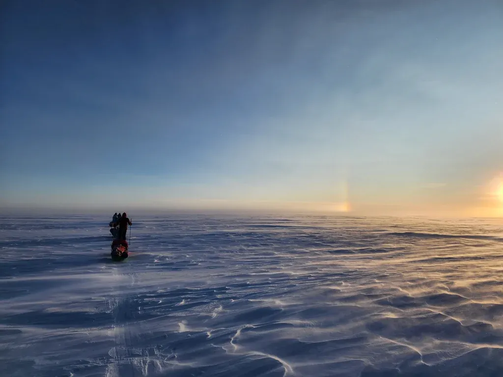
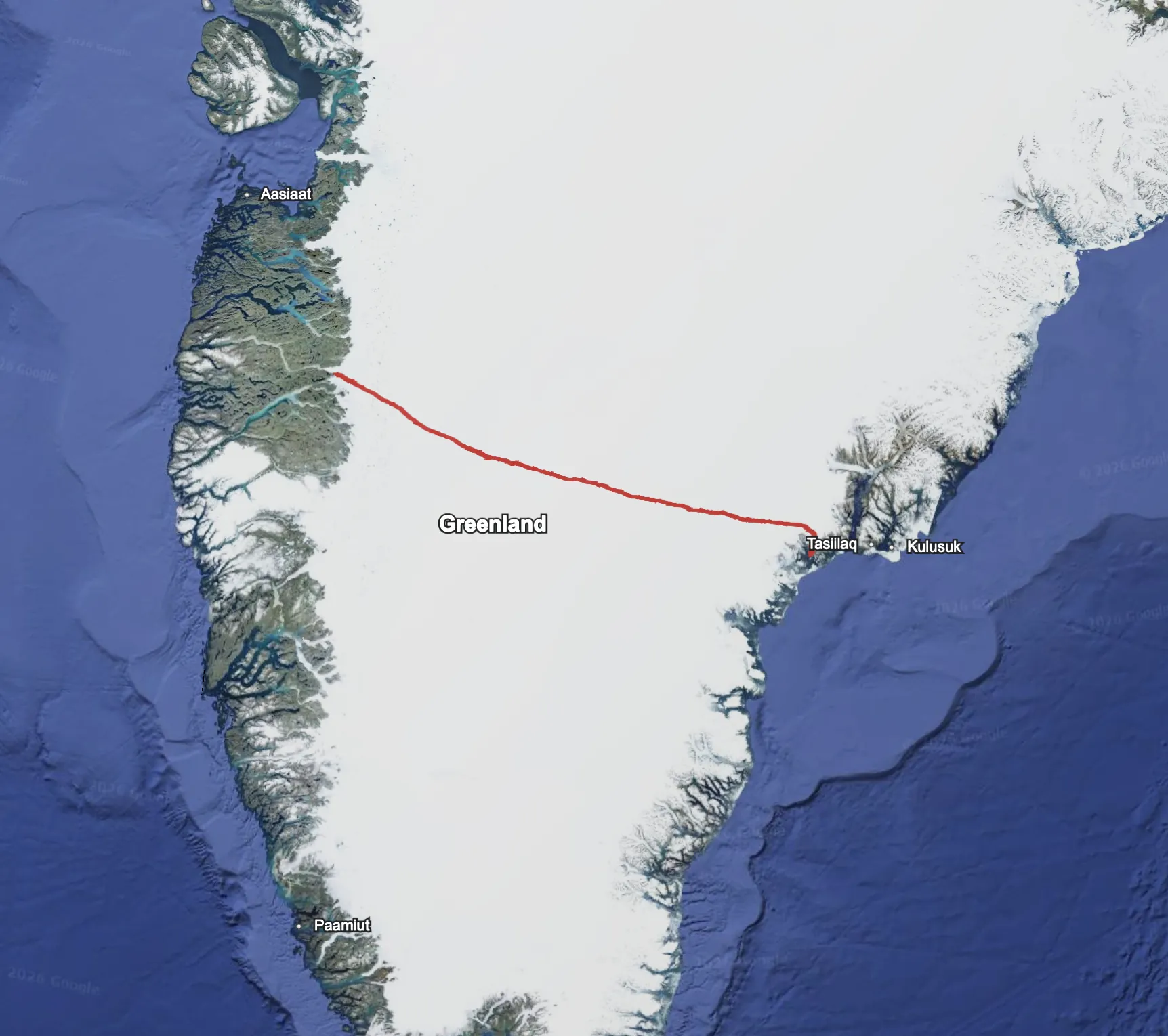
A Greenland crossing from Kangerlussuaq to Tassilaq in 26 days, undertaken for a scientific project with the Charité Institute. Olf published a book with OPTIK CONTROL about the expedition. Between the endless white plateau, the visit to DYE II (an abandoned American radar station) and the constant physical effort, the book recounts the harshness of such an expedition.

Difficulties

Endless white plateau, powerful katabatic winds, extreme cold and physical and mental wear over hundreds of kilometers unsupported.

Map of the Greenland crossing
26 DAYS
600 KILOMETERS
-40°C MIN TEMP
-18°C MAX TEMP

Goal of the expedition

Support the Charité Institute scientific project and document the experience in a published book.

Skiing on the Greenland ice sheet
Expedition Report

Sponsored by

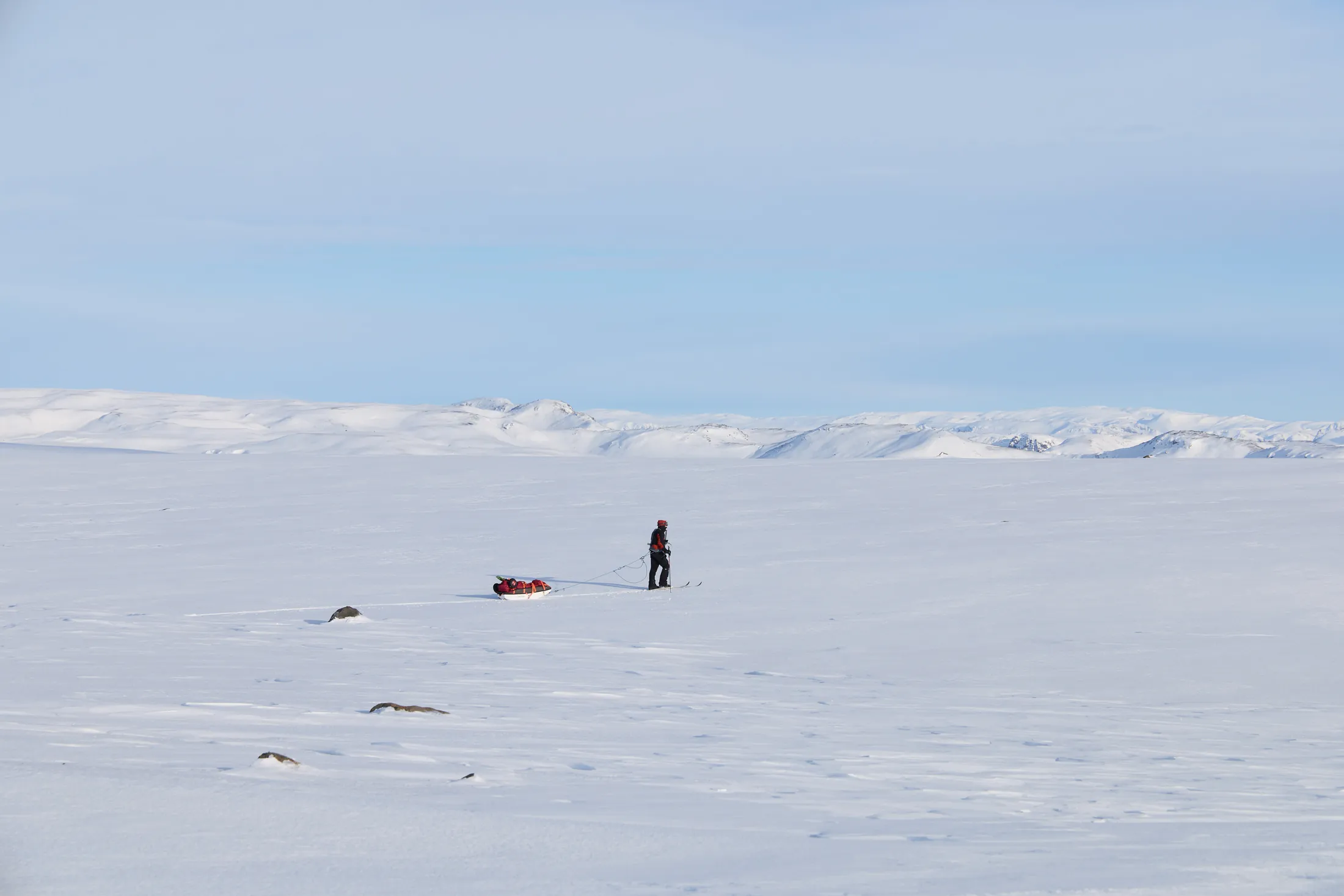
High Arctic travel on 80° North

80° North 2023

“80 Degrees North” is a documentary film by Merlin Cerise, with the participation of Gaël Loicq, accompanied by a photo book published in February 2024.

Made with the support of the International Polar Foundation, this project follows a 22-day fully self-supported expedition in Svalbard, carried out in March 2023.

This work blends adventure storytelling, immersion in a polar environment and reflection on the contemporary challenges of Arctic regions.

Difficulties

Self-supported travel in Svalbard, cold, isolation, polar bears and the demand of filming and documenting while hauling everything on skis.

Map of the 80° North route in Svalbard
22 DAYS
400 KILOMETERS
-35°C MIN TEMP
-15°C MAX TEMP

Goal of the expedition

Conceived as a tool for transmission, “80 Degrees North” is also used as material in conferences. It aims to spark interest in polar territories through exploration and landscapes, while addressing essential climate and geopolitical themes.